Madison is made up of many different neighborhoods, each with its own character and community. The City supports neighborhoods by providing resources and information to residents, neighborhood associations, homeowners associations, neighborhood centers, community centers, planning councils and other neighborhood-serving groups within the City.


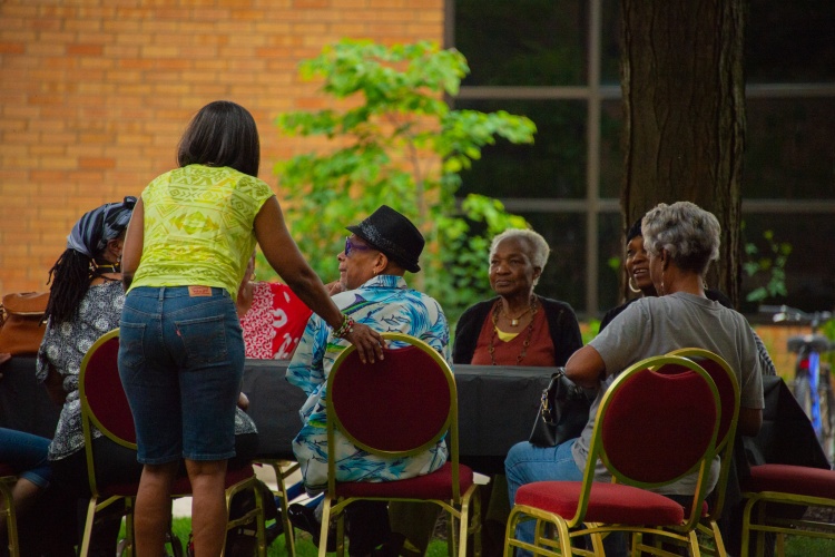
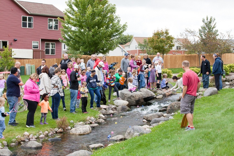 Image credit: Secret Places Neighborhood AssociationImage credit: Secret Places Neighborhood Association