
Northeast Area Plan
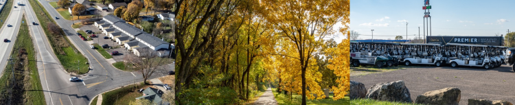

The Northeast Area is home to nearly 15,000 residents in a variety of housing types and styles and hosts approximately 20,000 jobs.
The Northeast Area Plan provides direction to the City to improve to infrastructure like streets, paths, and parks. It also guides future development through future land use mapping.
Adopted Plan
The Northeast Area Plan was adopted on September 10, 2024. Plan implementation will be lead by the agencies and partners identified in the Plan. Implementation will be subject to Common Council budgeting and citywide project prioritization over the coming years.
Get Engaged
Subscribe to Email Updates
The Northeast Area Plan should be updated every 10 years. If you would like to receive emails related the Northeast Area Plan please sign up for the email list on this page.
Plan Area and Info

The Northeast Area is generally bounded by Interstate 39/90/94 to the east, Highway 30 and Aberg Avenue to the south, and Packers Avenue and the Canadian Pacific rail corridor to the west.
Project Resources
Key background materials and links are available:
- Legistar files for board/committee/commission/Council review of the Northeast Area Plan final draft: 84379
- Background maps
- Plan Commission presentations providing context on plan development:
The Northeast Area Plan was developed through extensive public engagement. The project team hosted many community meetings to get feedback on the Plan. Various boards, commissions, and committees reviewed the Plan several times. The Public Feedback Summary separates the comments received during the planning process into several themes.