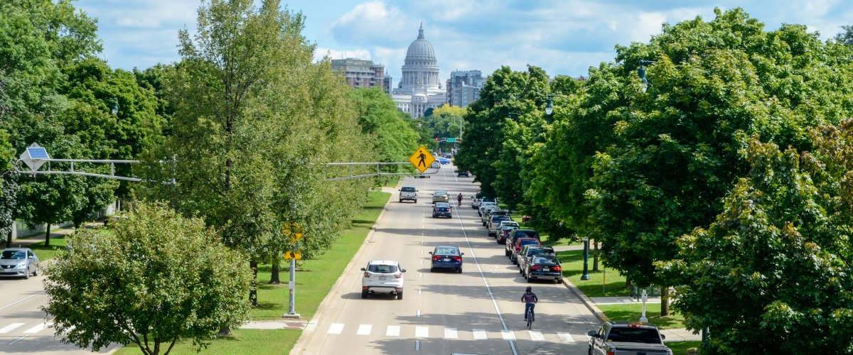
Explore bike maps from across Dane County and Wisconsin, including local community routes, state trail maps, bike parking tools, and mountain biking resources.
Local Community Maps
City of Fitchburg(Silver Bicycle Friendly Community)
CycleStreets — Photomap showing bike parking locations, including rack types and other details.
OpenStreetMap — Community-edited map with data on bike parking, including racks, lockers, and related infrastructure.
Statewide Bike Maps
Wisconsin State Bike Map — A statewide map distributed by the Wisconsin Bike Fed that classifies state and county roads by bike suitability and highlights trails, mountain bike facilities, and local route contacts.
Wisconsin County Bike Maps — Created by WisDOT, these maps show bicycling conditions by county to assist cyclists. Updated in 2020 using data from the Wisconsin State Bike Map, each includes a detailed legend to help interpret road conditions.
Wisconsin State Trail Maps — Includes information and maps of state trails, noting whether a trail pass is required, if e-bikes are allowed, surface type, and more.
Mountain Biking Resources
Dane County Parks – Provides trail conditions and updates on path closures across the county’s trail system.
Capital Off Road Pathfinders – A local nonprofit dedicated to building and maintaining trails, advocating for mountain bikers, and supporting local off-road biking efforts.
TrailForks – A tool for viewing trail conditions, logging trail work, and discovering, planning, and sharing mountain biking routes. Also used by trail associations for trail management and updates.
Madison BCycle Map
Madison BCycle is the region's electric bike share system. Use the Madison BCycle Station Map to find available bikes, docking stations, and check real-time availability.